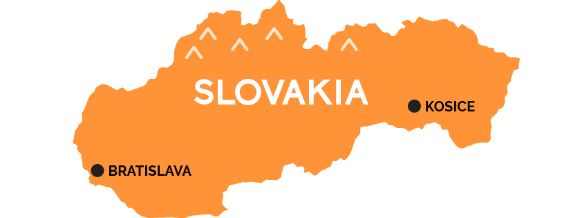
Map of Slovakia
A land of rugged mountains, baroque cities, and medieval castles mixing Slavic traditions with Magyar flair.
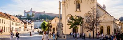
Bratislava, with its baroque old town on the Danube River entombed in Communist-era sprawl, may be the capital of Slovakia (the eastern, less-visited half of the former Czechoslovakia) but it is barely in Slovakia at all: snuggled against the far western border of the nation just a mile and a half from Austria (and six miles from Hungary to the south), an hour by train from Vienna. Most trains from Bratislava that don’t go to Vienna, Budapest, or Prague head west across Slovakia, past the glorious High Tatras mountains of the Carpathians forming the northern border with Poland—full of nature parks, castles, painted villages, and historic mining towns—to Košice, a lively university city and transport hub in the eastern half of the country, formerly part of the Kingdom of Hungary and suffused with Magyar style.