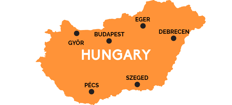
Map of Hungary
Hungary is a spicy goulash of Magyar traditions, Turkish baths, Habsburg elegance, and post-Communist modernism.
Hungary has always been a land apart—influenced by the Slavic cultures around it—and the Austro-Teutonic ones to the west—but always proudly Magyar, with a unique language and customs all its own. It lies in the Great Danube Basin, and the Danube River runs north-south, neatly cutting it nearly in half. The river flows right through beautiful Budapest, a capital of Austro-Hungarian charms and indulgent spas with direct, high-speed rail connections to its neighbors, Romania, Slovakia, Slovenia, Croatia, and Austria (and from there on into Germany, the Czech Republic, and Switzerland).
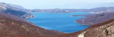
In the heart of the hilly Transdanubia region west of the Danube lies Lake Balaton, the “Hungarian Sea.” High-speed train lines run from Budapest south to Pécs, a lively medieval university town near the border with Croatia, and also west past the baroque splendors of Györ (hard by Hungary’s northern border with Slovakia) toward Vienna in Austria.
The great Hungarian Plains stretch east of the Danube, falling from the Carpathian Mountains along the Slovak border, past the baroque city of Eger, Debrecen (capital of the Northern Plains), and on to the university town of Szeged, in the Southern Plains by the southern Serbian border, on the banks of Hungary’s other great river, the Tisza.